
Temperatures plunge to minus 15C overnight as snow and ice warnings remain
There was a 20 degree difference in minimum temperatures across the UK on Friday night.

Temperatures plunged to as low as minus 15.2C in the UK on Friday night as heavy snow brought treacherous conditions across parts of the country.
The Met Office had yellow warnings in place covering large swathes of the country after Storm Larisa battered parts of the UK with gales and blizzards.
Drivers were urged to get behind the wheel only if necessary, with some motorists left stranded due to heavy snowfall.
>
There was a 20 degree difference in minimum temperatures across the UK overnight, with a harsh frost in the north and milder conditions in the south.
The lowest temperature of minus 15.2C was recorded at Altnaharra in northern Scotland while the highest temperature of 5C was recorded in Swanage, Dorset, in the south of England.
Heading into the weekend, the Met Office expects cloud and rain to spread north east on Saturday, turning to snow over high ground. Temperatures are set to be cold but becoming much milder for the west and south west.
Then, rain, sleet, and snow will move north east with clear spells following from the west. There will be low levels of snow in the north but this is expected to be short-lived across central areas.
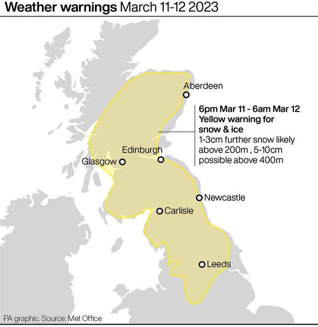
A yellow snow and ice warning covers much of northern England and southern Scotland until 6am on Sunday.
The Met Office warns that snowfall could cause travel disruption in the affected areas, with delays on roads stranding some vehicles and passengers.
Bus services, train services and flights may also be delayed or cancelled.
Untreated pavements and cycle paths might be impassable, leading to a risk of injury from slips and falls.
The Met Office adds that there is a small chance of power outages in some affected areas.


