A new interactive map shows how safe car parking is near your home
Co-op Insurance has built the map to help users be more aware of where they park their cars.
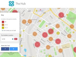
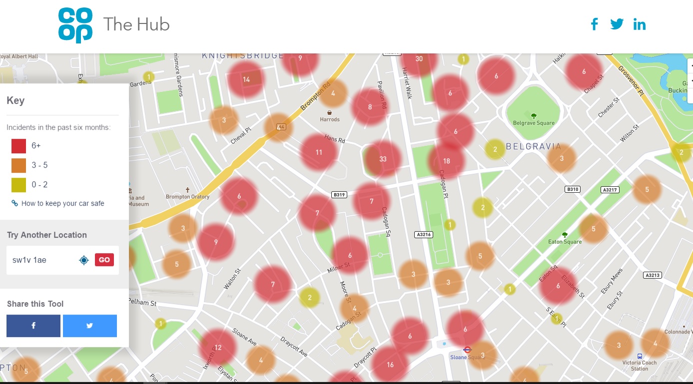
An insurance company has created a new interactive map that tells people about the car crime rate close to them, aiming to give users better insight into where to park their car.
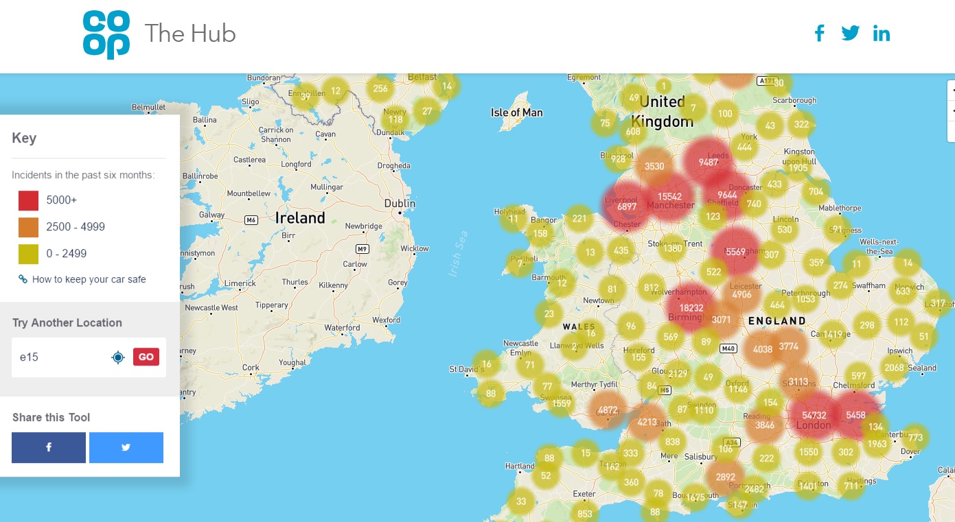
Co-op Insurance has built the map using crime data published by the Home Office, which covers the period from November 2016 to April 2017 and enables users to enter their postcode and see recent vehicle crime nearby.
London and other major cities were perhaps unsurprisingly the areas with the most reported incidents in the last six months.
“While vehicles and their technology systems have become smarter over the years, vehicle crime continues to be one of the most well reported instances of police recorded crime in the UK,” Co-op Insurance said.
“Along with calling for a taxi home, there are a whole host of inconveniences to consider when it comes to having your car stolen: extra time and expense for excursions, loss of personal possessions and identity fraud could be among the worst outcomes.”