Update issued on 5,500 home development on the edge of Birmingham
Proposals to carry out infrastructure works for a huge housing development on the edge of Birmingham have been approved.
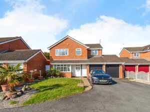
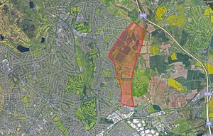
The enormous Langley scheme is set to see around 5,500 homes, community facilities, new schools, green spaces and more built on a huge swathe of land near Walmley in Sutton Coldfield.
It has been described as an “unparalleled opportunity to establish a new sustainable community” by those behind the project.
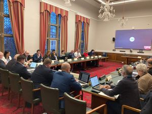
Ahead of a recent council planning meeting, permission was being sought to commence the works for “strategic infrastructure” on the site.
These include the demolition of Langley Park House buildings to the east of Langley Hall; green infrastructure including open space and play areas; engineering earthworks; highway networks; and a cycle and pedestrian network.
During the meeting, Conservative councillor Gareth Moore argued that the Labour-run council’s transport policy could be “outdated” and said the development could be a “heavy car-use area”.
“Despite the best will in the world, the council is not going to change that,” he said.
“I’m really concerned that long-term this is going to build up problems because we’re going to try and discourage people from owning cars.
“We’re going to try and encourage everyone to walk, cycle and get the bus – but they’re not.
“They’re going to own cars and they’ll be parked all over the place.”
Coun Moore added: “Yes, in 50 years time that might be different but the important thing is the here and now.”
A council report, published ahead of the meeting, said there would be an “extensive network” of new walking and cycling routes.
It went on to say that this would help ensure accessibility to key destinations within the local area and provide wider “community and recreational benefits”.
“The development would incorporate segregated walking and cycling routes and sections of Sprint/bus-only connectivity, as well as allowing for bus priority at key junctions,” it said.
“The intention is to not give equal priority to all modes through the road space allocation, instead encouraging sustainable travel which adheres to the objectives of the Birmingham Transport Plan.
“Segregated, well-lit cycle paths would be provided along the strategic routes to connect cyclists across the site (north to south) and over the A38 (eastwards) into the Peddimore development via the traffic free bridge.”
The council has said in the past that prioritising active travel and public transport will help eliminate road danger; connect communities and help address the climate emergency.
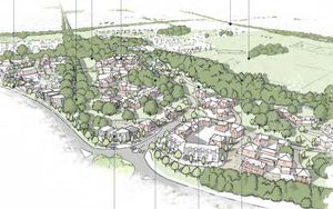
According to the development’s website, the Langley scheme will provide schools, community and leisure facilities and significant areas of “well-connected green spaces”.
“We are committed to working with the local community to deliver a beautifully designed scheme that puts placemaking at its heart and provides long-term benefits for both new and existing residents,” it said.
The application for the infrastructure works was ultimately approved by the planning committee.