
Big thaw on the way at last
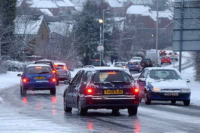

The big thaw is set to arrive in the West Midlands, ending the region's miserable winter freeze.
The big thaw is set to arrive in the West Midlands, ending the region's miserable winter freeze.
But the region could suffer one final icy blast, with up to four inches of snow falling in some areas tomorrow night, bringing more disruption. Temperatures on Friday will reach 3C (37F) – and by Sunday daytime temperatures are set to reach 6C (43F).
The static mass of cold air affecting the country is set to disperse and bitterly cold northerly winds are set to swing around to bring a more gentle breeze from the south, although it will be below freezing at night.
The thaw will mark the end of one of the most sustained periods of severe winter weather the West Midlands has seen. More snow fell overnight, covering ground that was thawing slowly yesterday.
Snow brought more traffic problems, school closures and left councils struggling with dwindling grit supplies.
Sleet and snow showers are forecast for tomorrow night and Wednesday, bringing a covering to high ground. Sub-zero temperatures will continue but there will be no repeat of last week's record lows.
Forecaster Julian Mayes said: "The next problem is going to come on Tuesday night, when a band of snow is going to come into Wales and south-west England, though hopefully it will not come too far inland, and may then turn to rain."
Today's fresh snow forced flights from Birmingham Airport to be delayed by up to two hours today. The 6.35am flight to Paris was unable to go until 8.30am because of the backlog.
Several secondary schools only opened to pupils sitting exams. Five in Walsall were shut to younger pupils, only opening to students taking A levels, GCSEs and AS levels.
In Birmingham 35 schools closed and in Dudley at least 10 opened later to give pupils more time to get in. Four closed in Wolverhampton and three in Sandwell.