

Five days after the major incident, show the extent of the devastation left behind in the affected area.
The major incident that destroyed 19 homes in the Norton area of Stourbridge - sparking mass evacuation of the area.
Fire crews remain at the scene, with two fire engines, two 4×4 brigade response vehicles and several officers continuing to work to make the area safe.
Residents from Brunswick Avenue, Landsgate, Ounty John Lane, Quarry Park Road and Racecourse Lane who had not yet accessed their homes were asked on Monday to attend a meeting point at Stourbridge Golf Club.
Residents on other roads, including Norton Road, Carver Gardens, Osmaston Road, Harringay Drive and Pedmore Mews, were able to return to their properties.
Authorities have also reminded the public that drones remain prohibited near the incident as they could interfere with firefighting operations.
Police and fire continue to investigate.
The latest images underline the scale of the damage as emergency crews continue their work five days on.

1. 19 properties destroyed across five streets in Stourbridge
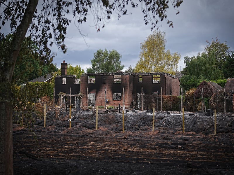
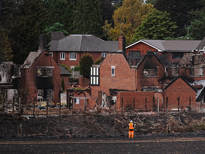
The burnt out remains of homes on Quarry Park Road on August 17, 2026 in Stourbridge | (Photo by Christopher Furlong/Getty Images)
2. 19 properties across five streets in Stourbridge destroyed
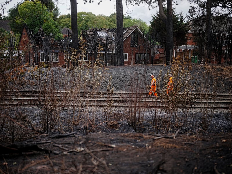
Network rail workers inspect the track and embankment after the Stourbridge wildfire | Getty Images
3. Mass evacuations and 19 destroyed properties across five streets in Stourbridge
The burnt out remains of homes on Quarry Park Road on August 17, 2026 in Stourbridge | Getty Images
4. Stourbridge wildfires
Network rail workers inspect the track and embankment after the Stourbridge wildfire on August 17 | Getty Images