
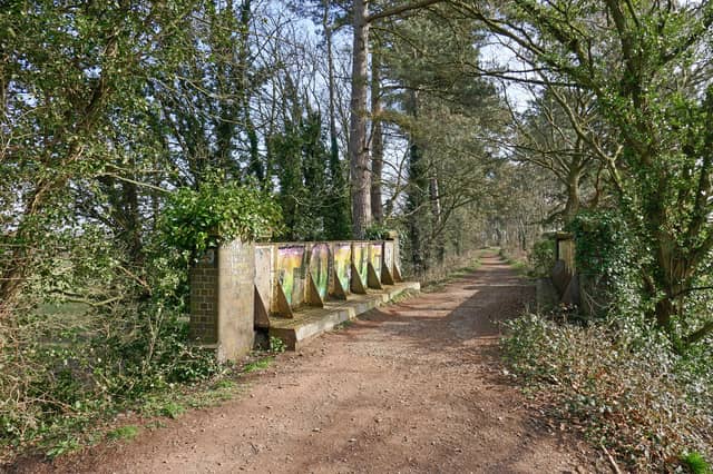

Christmas is fast approaching and a refreshing walk in the cold seems like the perfect way to re-connect with nature and slow down.
Walking is a great way to enjoy the nature and improve your physical and mental wellbeing.
A great long and meandering walk is much-needed to cleanse the mind and even burn some calories after a heavy meal.
Despite this seeming like a nightmare for some, for others a great walk feels fantastic for the mind.
But if you’re wondering where exactly you should start this winter, the walking app, AllTrails has helpfully compiled a list of best walks in the Wolverhampton area.
Scroll to see some of the best trails from AllTrails perfect for a winter walk in the Wolverhampton area:
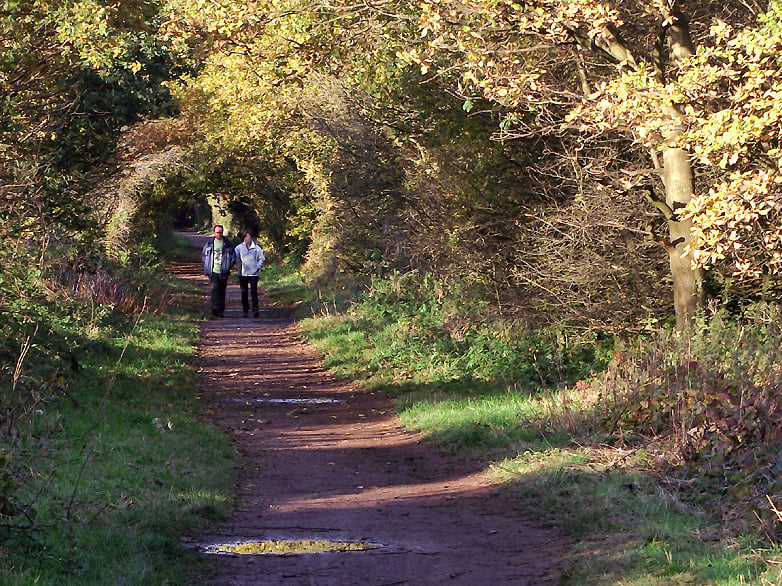
5. South Staffordshire Railway Walk: Wombourne to Castlecroft
This walk is rated a 4.3 out of 56 reviews on the app. AllTrails has labelled it as a moderate walking level. Length - 10.1km Elevation gain - 231m Estimated time - 2.5-3hr. The primary starting point for this walk is a free car park at Wombourne Station/Bratch Lane One AllTrails reviewer, Jodie Whickett said: 'Didn’t follow trail as was overgrown, continued straight and found some beautiful art work' | South Staffordshire Railway Walk at Wombourne by Roger Kidd, CC BY-SA 2.0, via Wikimedia Commons
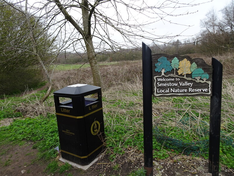
6. Smestow Valley Local Nature Reserve Circular
This walk is rated a 4.5 out of 57 reviews on the app. AllTrails has labelled it as a moderate walking level. Length - 13.4km Elevation gain - 373m Estimated time - 4-4.5 hours. The primary starting point for this walk is free, accessible car park off Meadow View/Henwood Road (WV6 8NX) near Compton. AllTrails reviewer, David Gibson, said: "9.5km from Mechano Bridge, all the way until you get to the bridge murals of animals, up the stairs, turn right, then public footpath across a field to the canal, then back to Mechano Bridge. Very easy gradient, sheltered, very few people, lovely walk. 2 hours to complete." | Smestow Valley Local Nature Reserve View by Gordon Griffiths, CC BY-SA 2.0, via Wikimedia Commons
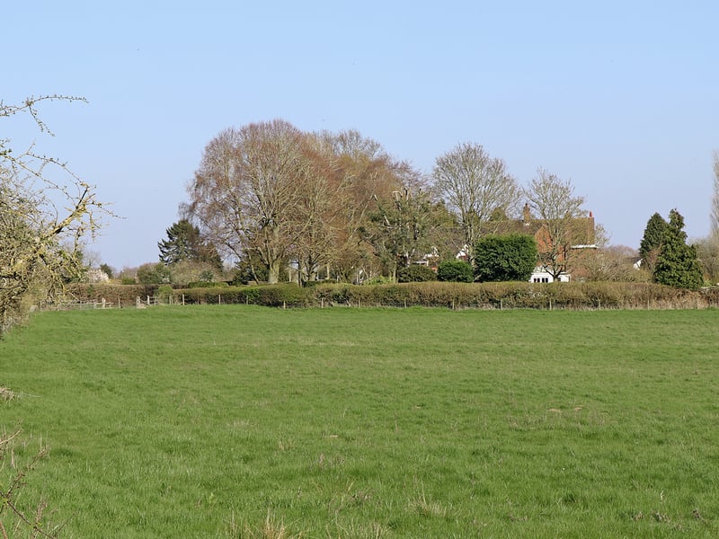
7. Perton to Nurton Circular
This walk is rated a 4.2 out of 60 reviews on the app. AllTrails has labelled it as a moderate walking level. Length - 12.7km Elevation gain - 324m Estimated time - 3.5-4 hours. The primary starting point for this walk is at the Northycote Farm and Country Park car park located on Underhill Lane, Bushbury, Wolverhampton. AllTrails reviewer, Bella Jane said: "This was such a lovely trail through loads of fields with lovely views. A very small part of it was on the road but quickly came off it. Slightly muddy at times but nothing major. We did this in only 3 hours. Would highly recommend and a lovely pub at the end." | Pasture west of Nurton in Staffordshire by Roger Kidd, CC BY-SA 2.0, via Wikimedia Commons
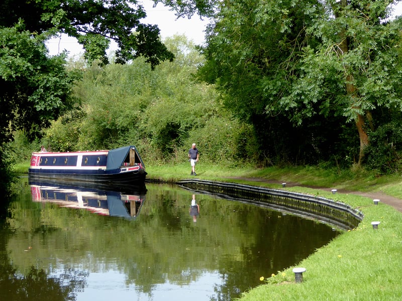
8. Lower Penn Circular
This walk is rated 4.5 out of 43 reviews on the app. AllTrails has labelled it as a easy walking level. Length - 6.6km Elevation gain - 61m Estimated time - 1.5 to 2 hours. The primary starting point for this is near Vicarage Road in Lower Penn, Wolverhampton,. AllTrails reviewer, Lucy Williamson said: "A little muddy by the canal and through the field at Langley Road also there is one short steep hill after the wooded path off Orton Lane. Otherwise a pleasant walk with a few quiet lanes." | Canal west of Lower Penn, Staffordshire by Roger Kidd, CC BY-SA 2.0, via Wikimedia Commons